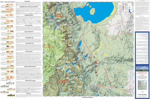
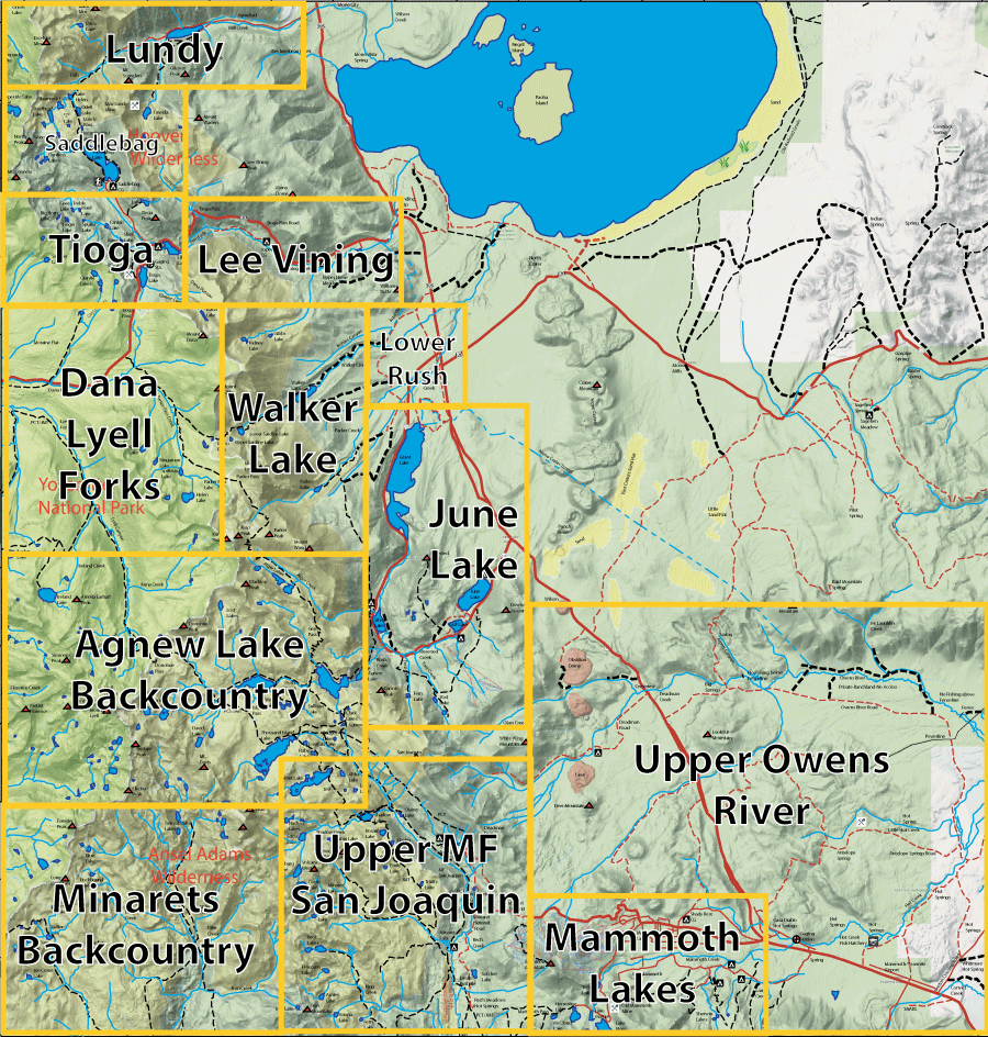
 Click the map or the link for a detailed map of the area: |
||||
| 1. Lundy Lake |
6. Walker Lake |
11. Minarets 12. Upper MF San Joaquin River 13. Upper Owens |
||
|
| |||
Fishing Map AvailableCovers the Dana and Lyell Fork of Toulumne River, Saddlebag Lake, June Lake Loop, Upper MF San Joaquin River, and the Agnew Lake Backcountry.Shows topographic relief, GPS Long./Lat., camping areas, road access, and trailheads. Special Features are Suggested Flies, Hatch Chart, Fishing Season and Regulations, Fish Identification, Catch & Release Procedures, and Stream Etiquette guidelines. |
Eastern Sierra Region 3
|
$12.95 each |
|